Bakersfield metro, CA relocation guide
Moving to Maricopa, CA
—Median listing price
Taft in southwestern KernArea
Commuter-friendlyCommute profile
About Maricopa
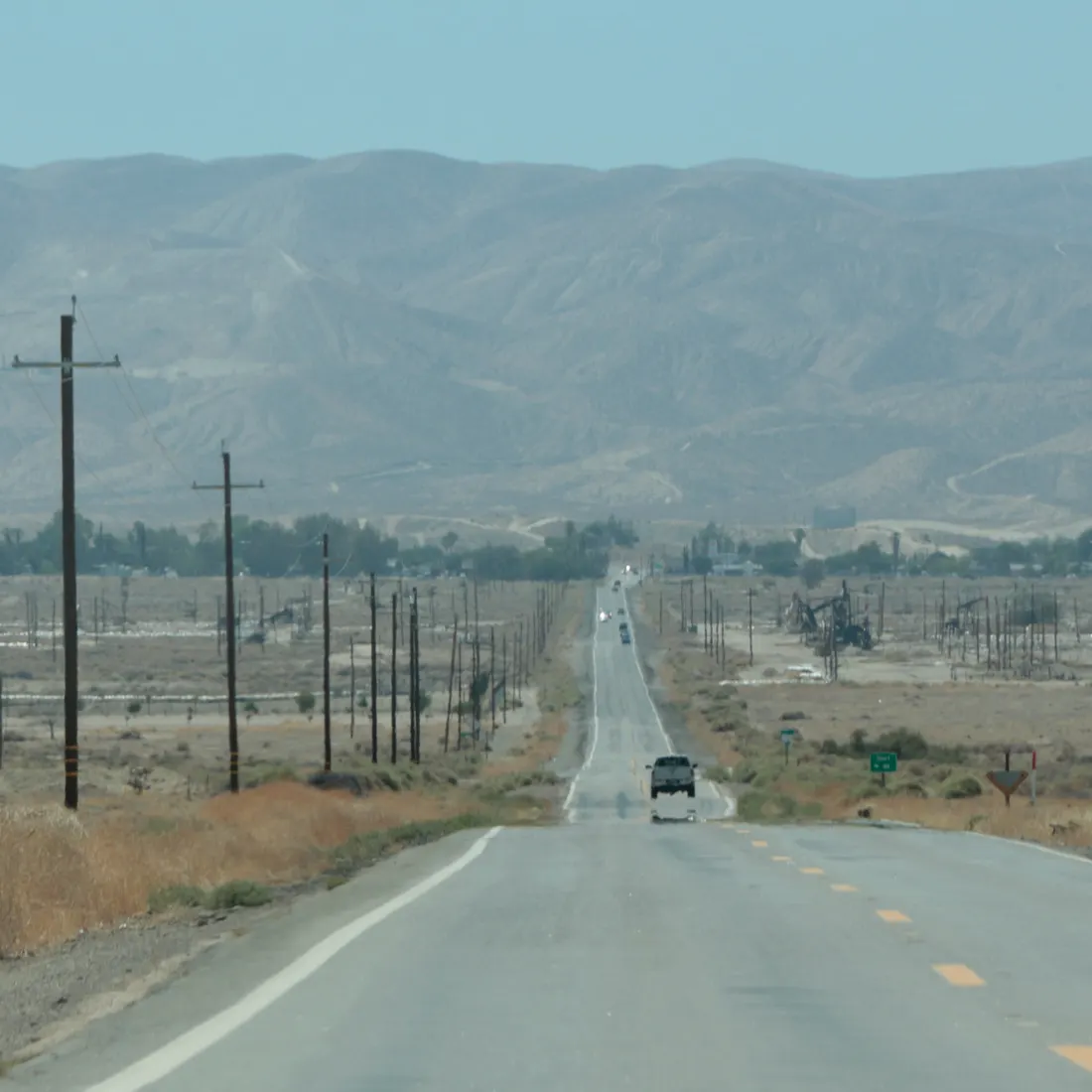
Maricopa is a tiny incorporated city about 6.5 miles south-southeast of Taft in southwestern Kern County. The 2020 census counted just 1,026 residents. It sits beside the Midway-Sunset Oil Field — one of the largest oil fields in the United States — and near the Carrizo Plain. Maricopa is a rural oil-patch community, not a commuter town.
Home prices in Maricopa
Home prices in Maricopa vary by neighborhood and property type.
Top places in Maricopa
- Midway-Sunset Oil Field — the surrounding working petroleum landscape.
- Carrizo Plain National Monument — wildflower superblooms and the San Andreas Fault, a drive to the west.
- Historic downtown Maricopa — small oil-town commercial strip.
- Taft (6.5 miles north) — nearest full services, schools, and shopping.
Commuting from Maricopa
- Maricopa to downtown Bakersfield is roughly 40 miles via Taft Highway and SR 119/33 — typically about 45–60 minutes. Residents generally work in the surrounding oil fields or in Taft. (Drive time not independently timed.)
Maricopa FAQs
- What is the housing market like in Maricopa, CA?
Home prices in Maricopa vary by neighborhood and property type. Price unavailable · Sep 2026 - How is the commute from Maricopa, CA?
Maricopa to downtown Bakersfield is roughly 40 miles via Taft Highway and SR 119/33 — typically about 45–60 minutes. Residents generally work in the surrounding oil fields or in Taft. (Drive time not independently timed.)
Town links
Schools
Official town resources. School report cards via the National Center for Education Statistics.