Boston metro, MA relocation guide
Moving to Ashland, MA
$600,000Median listing price
MiddlesexArea
Commuter-friendlyCommute profile
About Ashland
Ashland is a MetroWest town on the MBTA Framingham/Worcester Line, bisected by the Sudbury River, with Ashland State Park and a growing town forest. It sits between Framingham and Hopkinton with quick access to I-495 and the Mass Pike.
Home prices in Ashland
The median listing price in Ashland is $600,000.
Top places in Ashland
- Ashland State Park (reservoir swimming and trails).
- Ashland Town Forest.
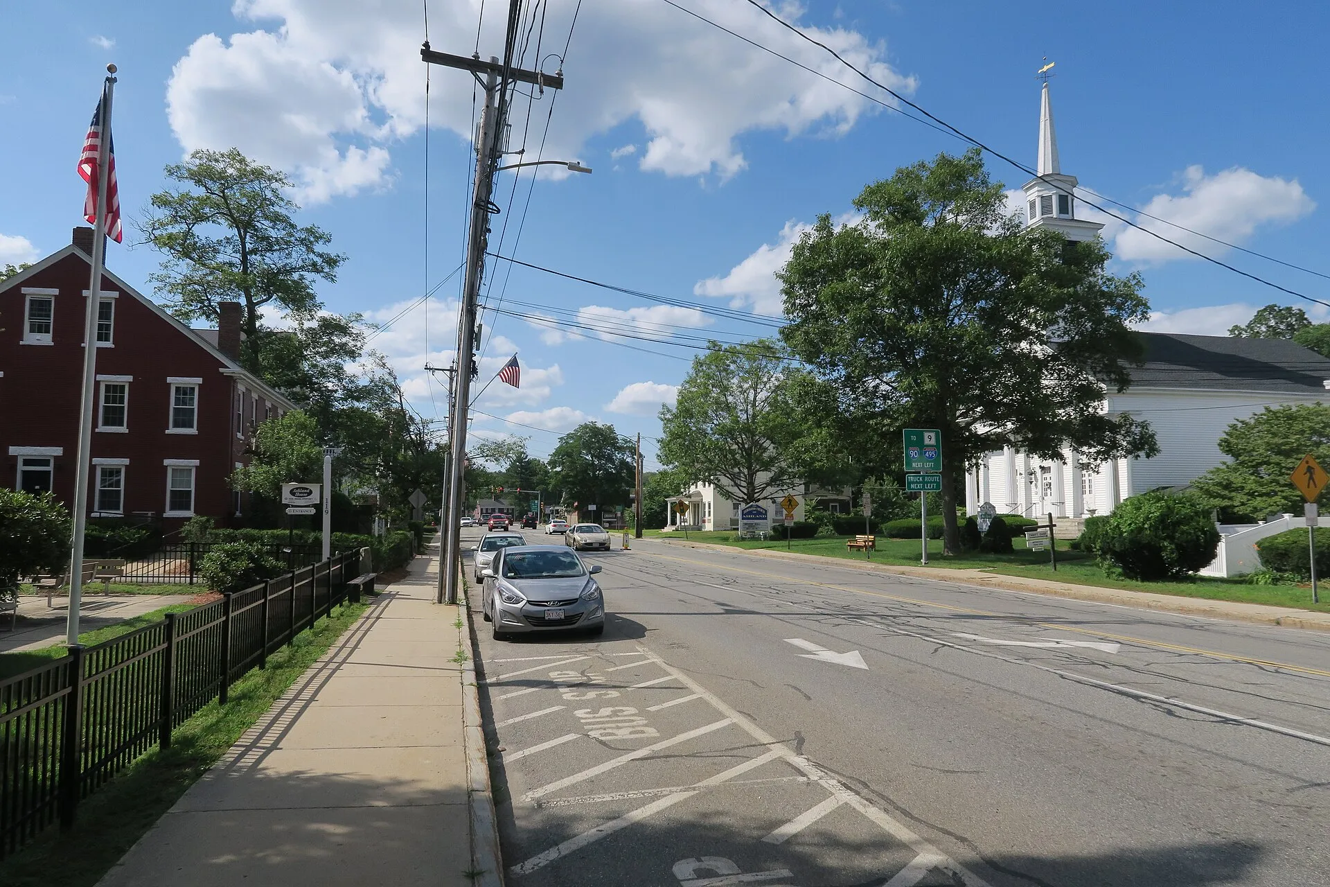
- Downtown Ashland and Main Street.
- The Sudbury River and its stone-arch railroad bridge.
- Ashland MBTA station area.
Commuting from Ashland
- MBTA Framingham/Worcester Line at Ashland station to Back Bay and South Station (roughly 40-50 minutes).
- About 25 miles west of Boston; drive roughly 35-50 minutes via the Mass Pike.
- I-495 access a few minutes south of downtown.
Schools in Ashland
Public schools: Ashland Public Schools. For enrollment and performance data, see the state report card in Town links below. Confirm school assignment for any address directly with the district.
Ashland FAQs
- What is the housing market like in Ashland, MA?
The median listing price in Ashland is $600,000. Median listing price · Realtor.com · September 24, 2026 - How is the commute from Ashland, MA?
MBTA Framingham/Worcester Line at Ashland station to Back Bay and South Station (roughly 40-50 minutes). - Which school district serves Ashland, MA?
Ashland is served by Ashland Public Schools. See the state report card in Town links, and confirm school assignment for a specific address with the district.
Town links
Schools
Transit
Official town resources. School report cards via the National Center for Education Statistics.