Greensboro metro, NC relocation guide
Moving to Staley, NC
—Median listing price
RandolphArea
Commuter-friendlyCommute profile
About Staley
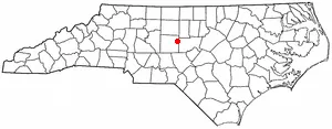
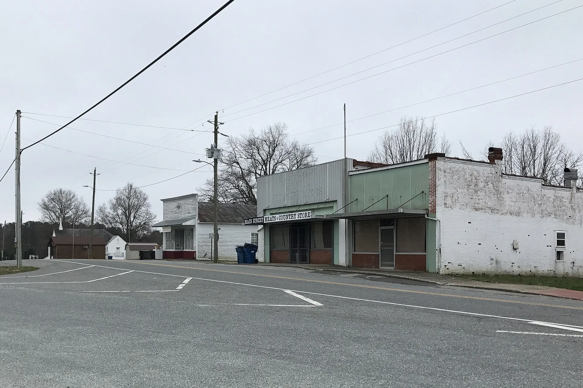
Staley is a tiny town in southeastern Randolph County, about 23.4 miles straight-line southeast of downtown Greensboro (2020 census population: 397, per Wikipedia, read September 24, 2026). A quiet rural community on the US-64 corridor between Asheboro and Siler City, it is the smallest incorporated municipality in this metro set. Realtor.com publishes no town-level median for Staley (read September 24, 2026).
Home prices in Staley
Home prices in Staley vary by neighborhood and property type.
Top places in Staley
- US-64 corridor
- Surrounding Randolph County farmland
- Proximity to the North Carolina Zoo (about 20 minutes west)
Commuting from Staley
- Approximately 23.4 miles straight-line from downtown Greensboro (RoadOnMap); typical drive is about 40–45 minutes via US-64 in normal traffic. To High Point: roughly 40 minutes. Drive-time estimates are approximations — confirm against live navigation.
Staley FAQs
- What is the housing market like in Staley, NC?
Home prices in Staley vary by neighborhood and property type. - How is the commute from Staley, NC?
Approximately 23.4 miles straight-line from downtown Greensboro (RoadOnMap); typical drive is about 40–45 minutes via US-64 in normal traffic. To High Point: roughly 40 minutes. Drive-time estimates are approximations — confirm against live navigation.
Town links
Schools
Official town resources. School report cards via the National Center for Education Statistics.