Nashville metro, TN relocation guide
Moving to Walterhill, TN
About Walterhill
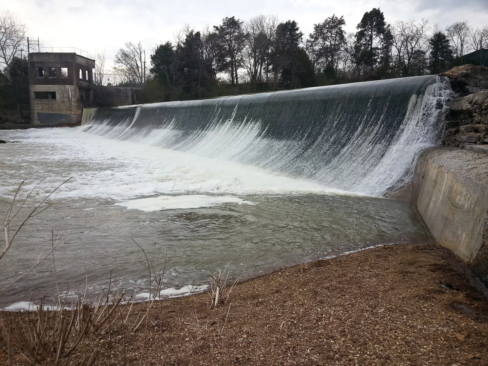
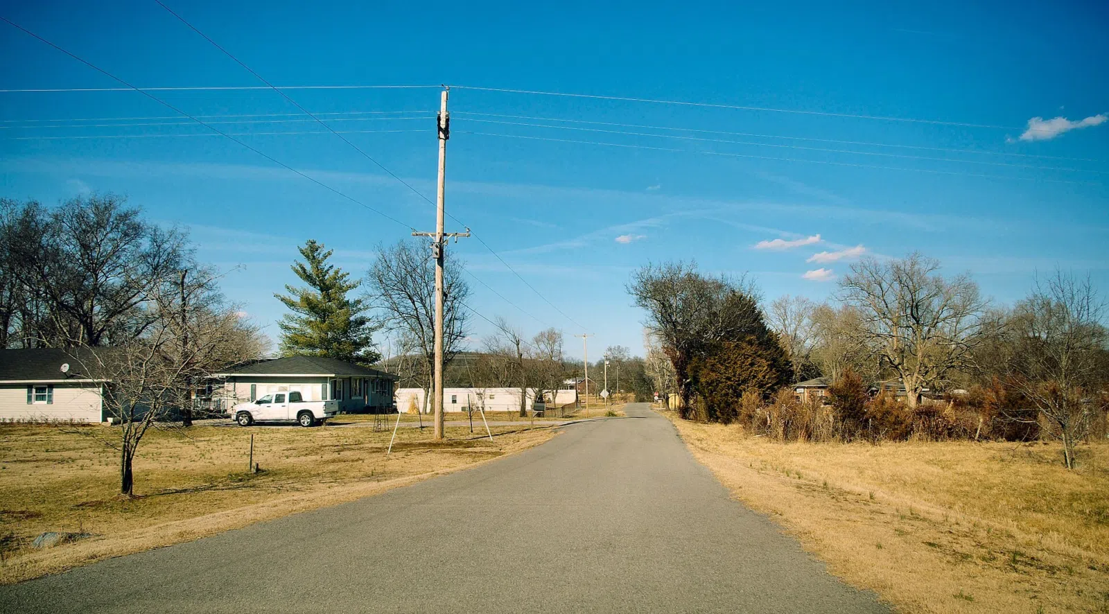
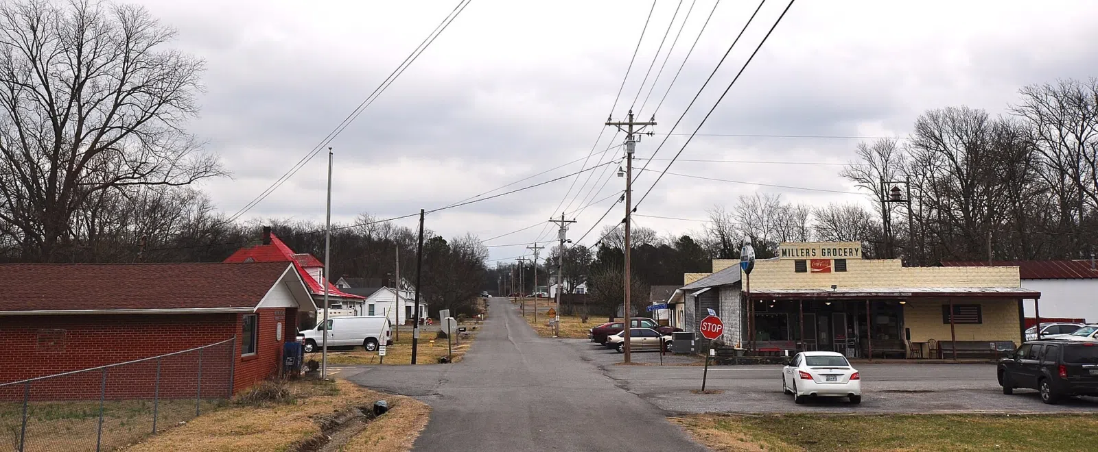
Walterhill, also known as Walter Hill, is a Town in Rutherford County, Tennessee. The population was 401 at the 2010 census. Walterhill is the site of the 34-acre (140,000 m2) Walterhill Floodplain State Natural Area, established to support a rare plant species found in the Stones River floodplain, the Stones River bladderpod (Paysonia stonensis). Walterhill is best known in the local area for being the site of Allied Waste Industries' Middle Point landfill. A small town in Rutherford County, about 30 miles southeast of downtown Nashville. Walterhill is the site of the 34-acre Walterhill Floodplain State Natural Area on the Stones River — a hidden ecological gem.
Home prices in Walterhill
Home prices in Walterhill vary by neighborhood and property type.
Top places in Walterhill
- Walterhill Floodplain State Natural Area
- The Stones River and its bottomland forests.
- Nearby Murfreesboro (~10 min)
Commuting from Walterhill
- Approximate drive to downtown Nashville: 35–45 minutes (about 30 miles, via I-24).
- Nearest commuter hub: Murfreesboro (~10 min). No transit service.
Schools in Walterhill
Public schools: Rutherford County Schools. For enrollment and performance data, see the state report card in Town links below. Confirm school assignment for any address directly with the district.
Walterhill FAQs
- What is the housing market like in Walterhill, TN?
Home prices in Walterhill vary by neighborhood and property type. - How is the commute from Walterhill, TN?
Approximate drive to downtown Nashville: 35–45 minutes (about 30 miles, via I-24). - Which school district serves Walterhill, TN?
Walterhill is served by Rutherford County Schools. See the state report card in Town links, and confirm school assignment for a specific address with the district.
Town links
Schools
Transit
Official town resources. School report cards via the National Center for Education Statistics.