Richmond metro, VA relocation guide
Moving to Bensley, VA
—Median listing price
ChesterfieldArea
Commuter-friendlyCommute profile
About Bensley
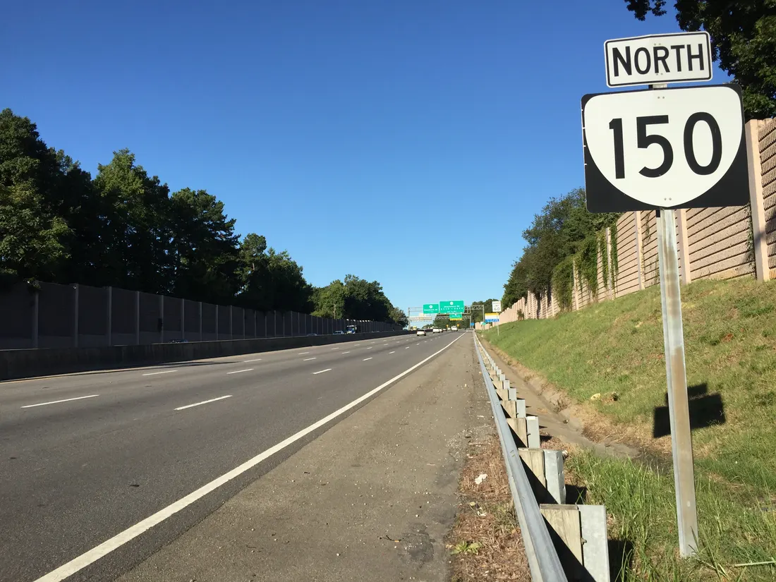
Bensley is a census-designated place in Chesterfield County (2020 population 5,971), an inner suburb straddling Jefferson Davis Highway just south of Richmond. Its location at the Chippenham Parkway (VA-150) interchange gives quick access to the whole metro, and Bensley Park anchors the community (per Wikipedia, read September 24, 2026).
Home prices in Bensley
Home prices in Bensley vary by neighborhood and property type.
Top places in Bensley
- Bensley Park — ballfields, playground, and community center.
- Bensley community building.
- Jefferson Davis Highway commercial corridor.
- Falling Creek area trails (nearby).
- Quick access to the Chippenham Parkway beltway.
Commuting from Bensley
- Approximately 8 miles south of downtown Richmond via I-95 or Jefferson Davis Highway; typical drive ~15 minutes (approximate).
- GRTC serves the Jefferson Davis Highway corridor (approximate; confirm current routes).
Schools in Bensley
Public schools: Chesterfield County Public Schools. For enrollment and performance data, see the state report card in Town links below. Confirm school assignment for any address directly with the district.
Bensley FAQs
- What is the housing market like in Bensley, VA?
Home prices in Bensley vary by neighborhood and property type. Price unavailable · Sep 2026 - How is the commute from Bensley, VA?
Approximately 8 miles south of downtown Richmond via I-95 or Jefferson Davis Highway; typical drive ~15 minutes (approximate). - Which school district serves Bensley, VA?
Bensley is served by Chesterfield County Public Schools. See the state report card in Town links, and confirm school assignment for a specific address with the district.
Town links
Schools
Official town resources. School report cards via the National Center for Education Statistics.