Rochester metro, NY relocation guide
Moving to Chili, NY
—Median listing price
Rochester metro, NYArea
Commuter-friendlyCommute profile
About Chili
Chili (pronounced 'CHY-lie') is a suburban-rural town southwest of Rochester along the I-390 corridor, mixing post-war subdivisions near the Gates border with open farmland and Black Creek wetlands to the south. Housing is largely affordable single-family colonials, ranches, and newer builds.
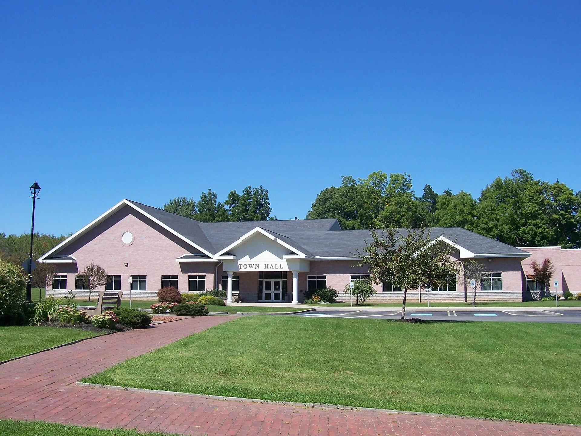
Home prices in Chili
Home prices in Chili vary by neighborhood and property type.
Top places in Chili
- Black Creek Park — one of Monroe County's largest parks, with trails, wetlands, and creek access.
- Chili-Paul Plaza — the town's main retail corridor.
- Union Station Park — sports fields and playgrounds.
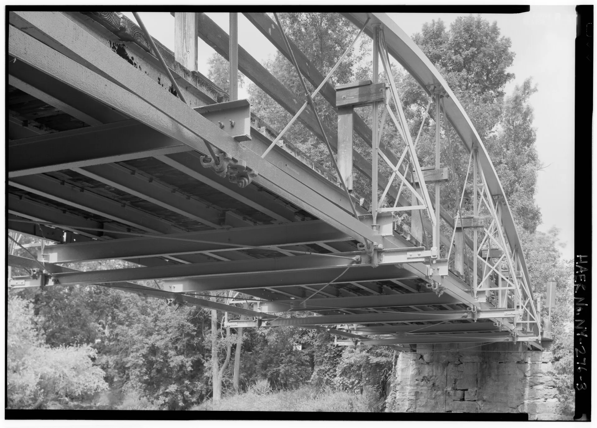
- Chili Mills Conservation Area — Black Creek frontage near the historic Chili Mills bridge (shown in the Commons photo below).
- Chili Community Center — recreation programs and senior center.
- Memorial Park — town green with veterans' memorial.
Commuting from Chili
- Approximate drive to downtown Rochester: ~15–20 minutes via I-390 or Buffalo Road (no-traffic estimate).
- Transit: RTS local service reaches Chili along Buffalo Road corridors; outlying areas use RTS On Demand (per reimagine.myrts.com route guide and myRTS.com, read September 24, 2026).
Chili FAQs
- What is the housing market like in Chili, NY?
Home prices in Chili vary by neighborhood and property type. - How is the commute from Chili, NY?
Approximate drive to downtown Rochester: ~15–20 minutes via I-390 or Buffalo Road (no-traffic estimate).
Town links
Schools
Transit
Official town resources. School report cards via the New York State Education Department.