Washington, DC metro relocation guide
Moving to Capitol Heights, MD
About Capitol Heights
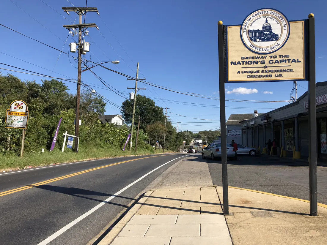
Capitol Heights is a town in Prince George's County, Maryland, United States, located on the border of both the Northeast & Southeast quadrants of Washington. Per the 2020 census, the population was 4,050. The town of Capitol Heights is officially bounded between Southern Avenue NE/SE to the north, Yost Place, and Eastern Avenue NE to the east, the Watts Branch Stream, Brooke Road, and Capitol Heights Boulevard to the south, and Marlboro Pike to the west.
Home prices in Capitol Heights
The median list in Capitol Heights is $339,994.
Top places in Capitol Heights
- Capitol Heights Metro — Blue/Silver Line access at the town's edge.
- Central Avenue corridor — the town's main street.
Commuting from Capitol Heights
- Metro Blue/Silver Lines at nearby Capitol Heights (~25–30 minutes to Metro Center).
- Central Avenue (Route 214) serves the town.
- Approximate drive to downtown DC: 25–35 minutes (approximate).
Schools in Capitol Heights
Public schools: Prince George's County Public Schools. For enrollment and performance data, see the state report card in Town links below. Confirm school assignment for any address directly with the district.
Capitol Heights FAQs
- What is the housing market like in Capitol Heights, MD?
The median list in Capitol Heights is $339,994. Median listing price · Sep 2026 - How is the commute from Capitol Heights, MD?
Metro Blue/Silver Lines at nearby Capitol Heights (~25–30 minutes to Metro Center). - Which school district serves Capitol Heights, MD?
Capitol Heights is served by Prince George's County Public Schools. See the state report card in Town links, and confirm school assignment for a specific address with the district.
Town links
Schools
Transit
Official town resources. School report cards via the National Center for Education Statistics.