Atlanta metro, GA relocation guide
Moving to Cartersville, GA
$368,900Median listing price
BartowArea
Commuter-friendlyCommute profile
About Cartersville
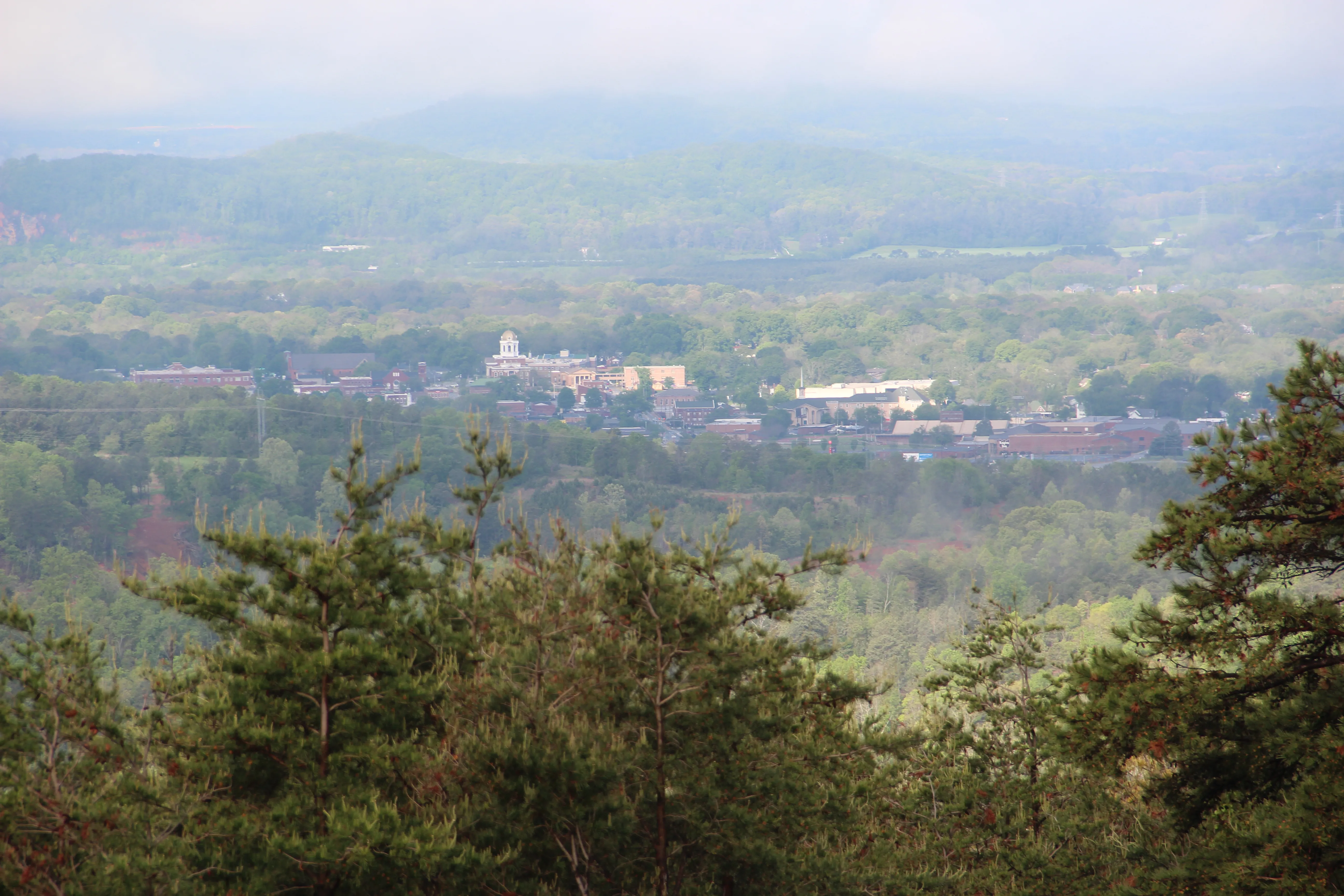
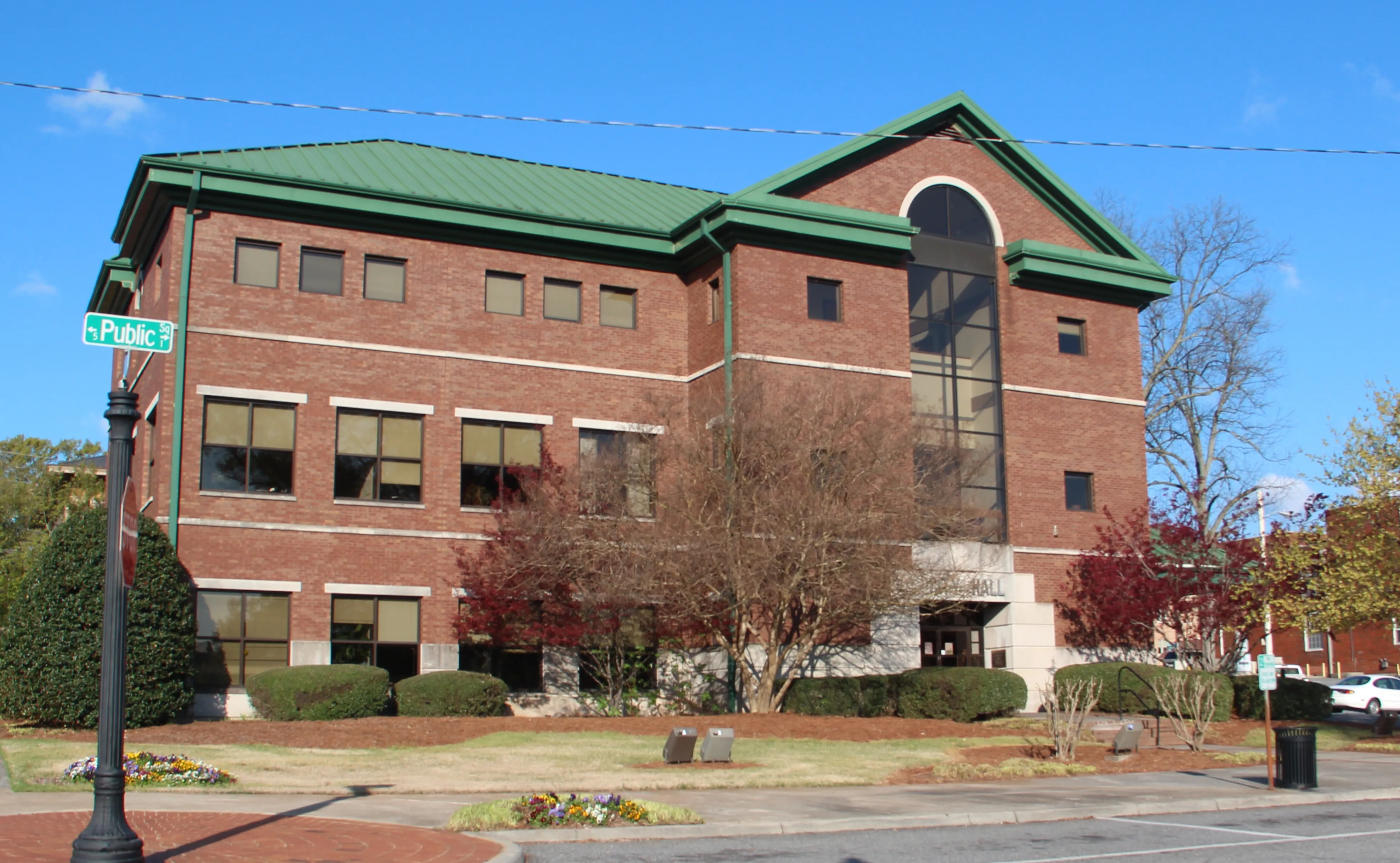
Cartersville is a city in and the county seat of Bartow County, Georgia, on the northwest edge of the Atlanta metropolitan area. The population was 23,187 in the 2020 census (2025 estimate: 25,349).
Home prices in Cartersville
The median listing price in Cartersville is $368,900.
Top places in Cartersville
- Booth Western Art Museum — Second-largest art museum in Georgia; Smithsonian affiliate; largest permanent Western-art exhibition space in the U.S.
- Tellus Science Museum — Smithsonian affiliate with North Georgia's first digital planetarium; a NASA meteor-tracking camera is installed here.
- Etowah Indian Mounds — Major Mississippian-culture archaeological site just south of the city.
- Downtown Cartersville — The 1894 Coca-Cola sign (world's first outdoor Coke sign), the Bartow History Museum in the c. 1870 Old Courthouse, and Rose Lawn, the house museum of evangelist Samuel Porter Jones.
- Savoy Automobile Museum — Automobile collection and original art.
- Red Top Mountain State Park — On a Lake Allatoona peninsula just outside the city; hiking, camping, and lake recreation.
- Pine Mountain Recreation Area — Trails to a 1,562-foot summit with views of Atlanta and Allatoona Lake.
Commuting from Cartersville
- Cartersville is 42 miles northwest of downtown Atlanta. I-75 passes through the eastern edge of the city with five exits (285, 288, 290, 293, 296); Exit 288 (East Main Street) is closest to downtown. Expect roughly a 50–70 minute drive in normal conditions; I-75 through the northwest corridor is heavily traveled at rush hour. US-41 runs parallel through downtown's eastern edge.
Cartersville FAQs
- What is the housing market like in Cartersville, GA?
The median listing price in Cartersville is $368,900. Median listing price · Realtor.com · September 24, 2026 - How is the commute from Cartersville, GA?
Cartersville is 42 miles northwest of downtown Atlanta. I-75 passes through the eastern edge of the city with five exits (285, 288, 290, 293, 296); Exit 288 (East Main Street) is closest to downtown. Expect roughly a 50–70 minute drive in normal conditions; I-75 through the northwest corridor is heavily traveled at rush hour. US-41 runs parallel through downtown's eastern edge.
Town links
Schools
Transit
Official town resources. School report cards via the National Center for Education Statistics.