Los Angeles metro, CA relocation guide
Moving to Del Aire, CA
About Del Aire
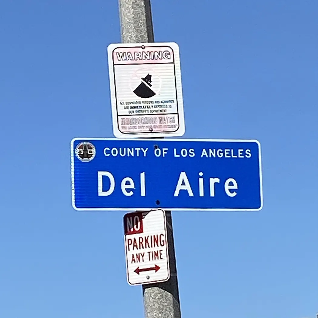
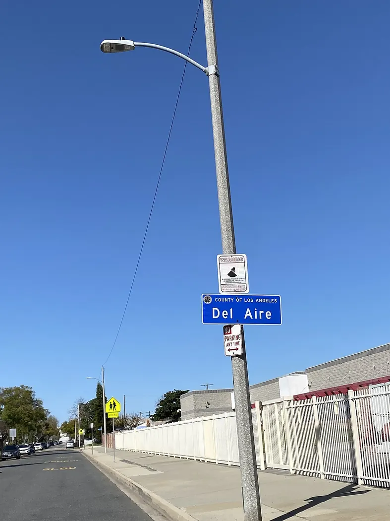
Del Aire is an unincorporated community in southwestern Los Angeles County, home to about 10,338 residents at the 2020 census (per Census QuickFacts, read September 24, 2026). Named from the Spanish for "of the air," the small neighborhood — marked by the county's blue Del Aire signs (shown below) — sits between Hawthorne and El Segundo. It hosts the Del Aire Park and is served by the Los Angeles Air Force Base community nearby.
Home prices in Del Aire
The median listing price in Del Aire is $1.2M.
Top places in Del Aire
- Del Aire Park.
- The Del Aire neighborhood signs (shown below).
- Los Angeles Air Force Base area.
Commuting from Del Aire
- Approximate drive to downtown Los Angeles (about 14 miles): ~20–35 minutes off-peak via I-405 south to I-105 east; peak-hour commutes run 40–70 minutes.
- Metro: the C Line (Green) Hawthorne/Lennox station is nearby.
Schools in Del Aire
Public schools: Hawthorne School District. For enrollment and performance data, see the state report card in Town links below. Confirm school assignment for any address directly with the district.
Del Aire FAQs
- What is the housing market like in Del Aire, CA?
The median listing price in Del Aire is $1.2M. 21 active listings, $825/sq. ft., 48 median days on market, $3.3k median rent (FAQ shows $1,225,000) · Realtor.com · 2026-09-25 - How is the commute from Del Aire, CA?
Approximate drive to downtown Los Angeles (about 14 miles): ~20–35 minutes off-peak via I-405 south to I-105 east; peak-hour commutes run 40–70 minutes. - Which school district serves Del Aire, CA?
Del Aire is served by Hawthorne School District. See the state report card in Town links, and confirm school assignment for a specific address with the district.
Town links
Schools
Transit
Official town resources. School report cards via the National Center for Education Statistics.