Los Angeles metro, CA relocation guide
Moving to Lancaster, CA
About Lancaster
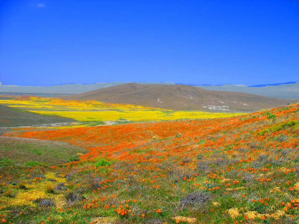
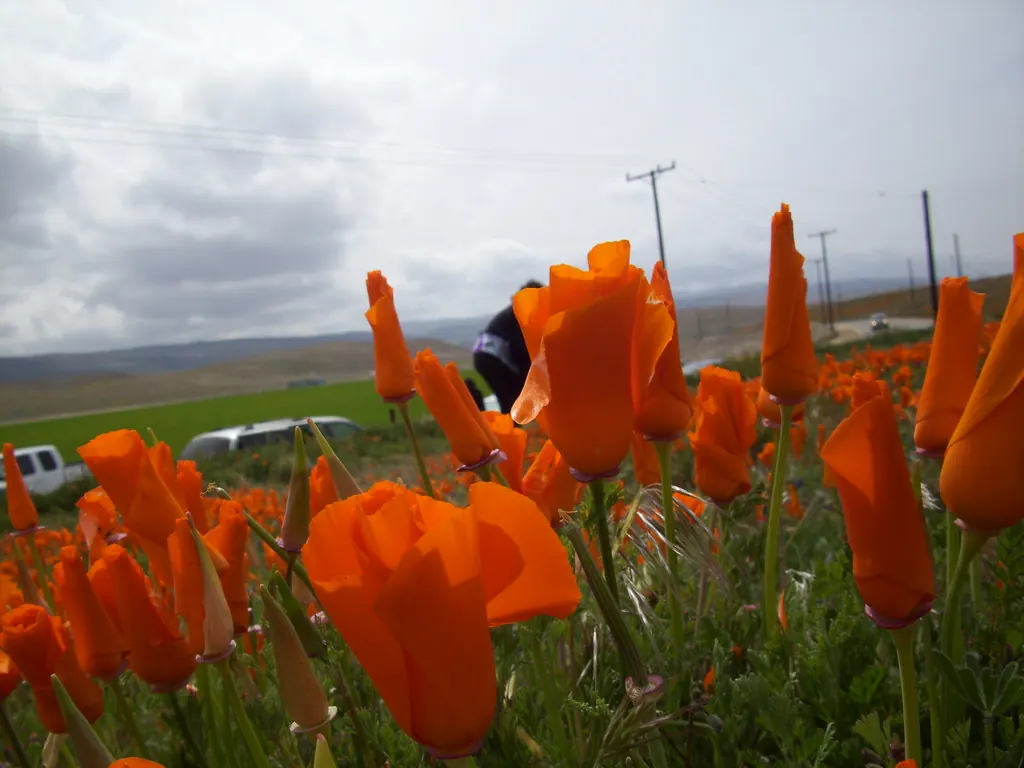
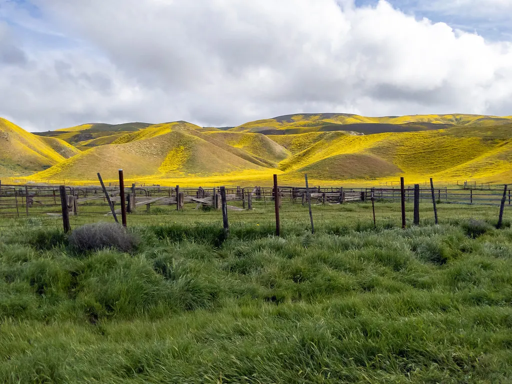
Lancaster is the largest city in the Antelope Valley of northern Los Angeles County, home to about 173,516 residents at the 2020 census (per Census QuickFacts, read September 24, 2026). Incorporated in 1977, this high-desert city sits at about 2,300 feet elevation between the San Gabriel Mountains and the Mojave Desert. Lancaster is best known for its access to the Antelope Valley California Poppy Reserve (poppies shown below), its revitalized downtown BLVD cultural district, and its role in aerospace history (Edwards Air Force Base is ~20 miles north).
Home prices in Lancaster
Home prices in Lancaster vary by neighborhood and property type.
Top places in Lancaster
- Antelope Valley California Poppy Reserve — spring wildflower super-blooms (shown below).
- The BLVD — Lancaster Boulevard's dining and arts district.
- Lancaster Performing Arts Center (LPAC) — concerts and shows downtown.
- Prime Desert Woodland Preserve — trails through Joshua-tree woodland.
- Museum of Art and History (MOAH) — the city's art museum.
Commuting from Lancaster
- Approximate drive to downtown Los Angeles (about 70 miles): ~75–100 minutes off-peak via CA-14 (Antelope Valley Freeway); peak-hour commutes run 100–150 minutes.
- Metrolink: the Antelope Valley Line serves Lancaster station, with trains to Union Station (~2 hours).
- The CA-14 is the only direct freeway corridor south.
Lancaster FAQs
- What is the housing market like in Lancaster, CA?
Home prices in Lancaster vary by neighborhood and property type. Price unavailable · anomalous source value omitted - How is the commute from Lancaster, CA?
Approximate drive to downtown Los Angeles (about 70 miles): ~75–100 minutes off-peak via CA-14 (Antelope Valley Freeway); peak-hour commutes run 100–150 minutes.
Town links
Schools
Transit
Official town resources. School report cards via the National Center for Education Statistics.