Los Angeles metro, CA relocation guide
Moving to Lawndale, CA
—Median listing price
Los AngelesArea
Commuter-friendlyCommute profile
About Lawndale
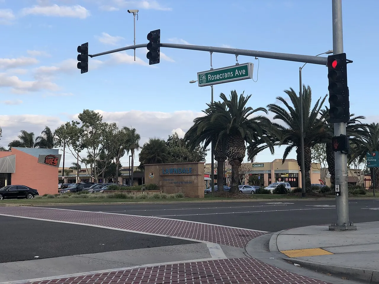
Lawndale is a small South Bay city in Los Angeles County, home to about 31,807 residents at the 2020 census (per Census QuickFacts, read September 24, 2026). Incorporated in 1959, this 2-square-mile city sits between Hawthorne and Torrance, immediately south of Rosecrans Avenue (the city's welcome sign is shown below). Lawndale is a compact, affordable South Bay community known for Lawndale High School and easy access to the beaches and the I-405 corridor.
Home prices in Lawndale
Home prices in Lawndale vary by neighborhood and property type.
Top places in Lawndale
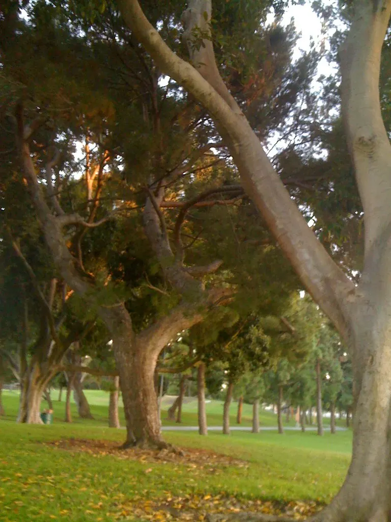
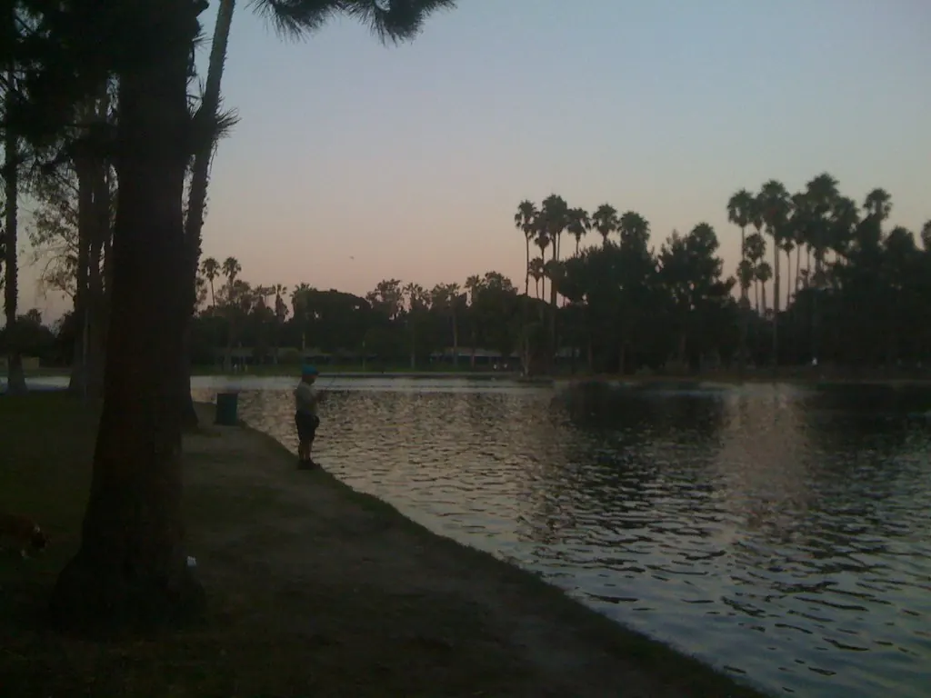
- Alondra Park — the county park with a lake just northeast of the city (shown below, two views).
- Lawndale High School campus and its athletics facilities.
- Hawthorne Boulevard corridor shops and dining.
- South Bay Galleria — in adjacent Redondo Beach, ~5 minutes southwest.
- Holly Park / Hopper Park — city neighborhood parks.
Commuting from Lawndale
- Approximate drive to downtown Los Angeles (about 16 miles): ~25–35 minutes off-peak via I-405 north and I-110; peak-hour commutes run 40–60 minutes.
- Metro: the Redondo Beach C Line (Green) station is ~3 miles southwest in Redondo Beach; Hawthorne/Lennox station is ~2 miles north.
- Hawthorne Boulevard and Rosecrans Avenue are the primary commercial corridors; the I-405 is 1 mile east.
Lawndale FAQs
- What is the housing market like in Lawndale, CA?
Home prices in Lawndale vary by neighborhood and property type. - How is the commute from Lawndale, CA?
Approximate drive to downtown Los Angeles (about 16 miles): ~25–35 minutes off-peak via I-405 north and I-110; peak-hour commutes run 40–60 minutes.
Town links
Schools
Transit
Official town resources. School report cards via the National Center for Education Statistics.