Los Angeles metro, CA relocation guide
Moving to Rancho Santa Margarita, CA
$884,950Median listing price
OrangeArea
Commuter-friendlyCommute profile
About Rancho Santa Margarita
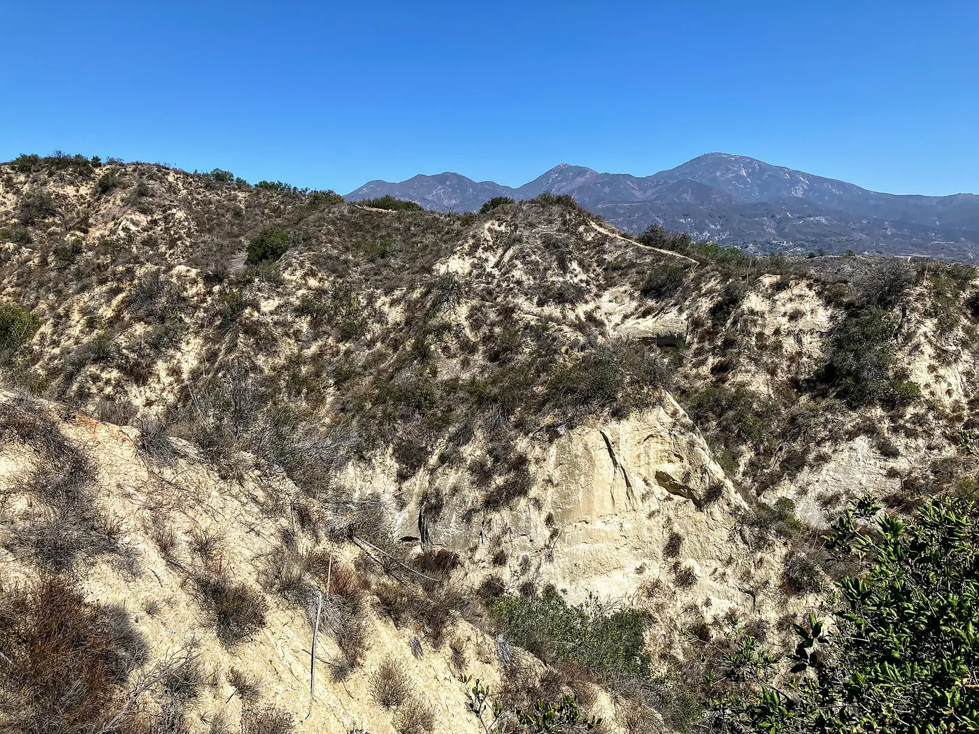
Rancho Santa Margarita is a master-planned city tucked against the Santa Ana Mountains, centered on the Rancho Santa Margarita Lake and the Lago Santa Margarita Beach Club. It is one of the county's youngest cities (incorporated 2000) and feels deliberately suburban — village-style retail centers, an extensive trail system, and the O'Neill Regional Park wilderness at its back door. Dove Canyon's gated golf community sits within its sphere.
Home prices in Rancho Santa Margarita
The median listing price in Rancho Santa Margarita is $884,950.
Top places in Rancho Santa Margarita
- Rancho Santa Margarita Lake and Beach Club — the city's private lake centerpiece.
- O'Neill Regional Park — canyon wilderness at the city's edge.
- Dove Canyon — gated golf community with the Jack Nicklaus course.
- Central Park — the city's main park and amphitheater.
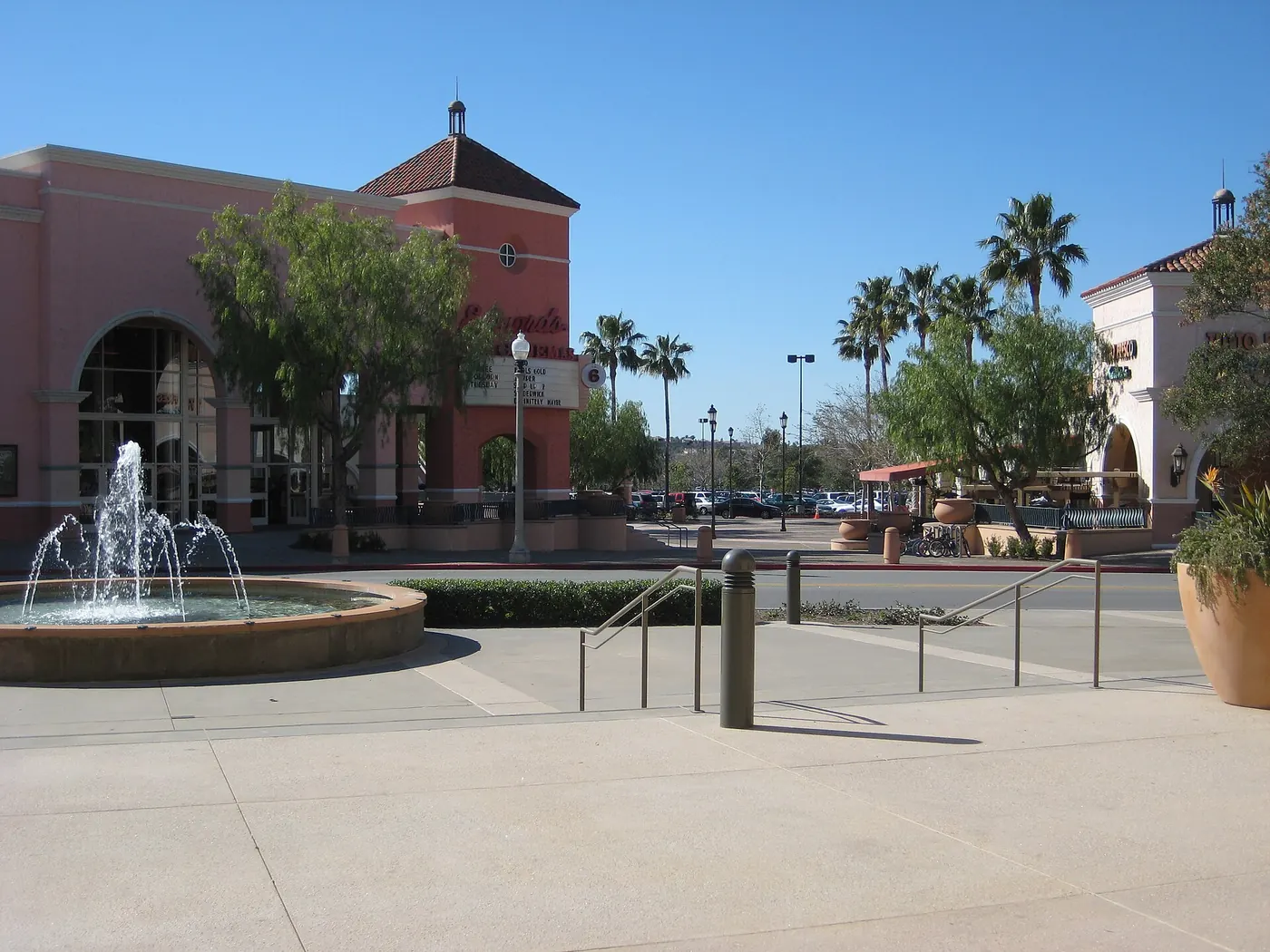
- The village retail centers — Mercantile, Rancho Santa Margarita Town Center.
- Tijeras Creek Golf Club — public golf in the hills.
- Arroyo Vista Park — sports fields.
- The city's trail network into the Santa Anas.
Commuting from Rancho Santa Margarita
- Approximate drive to downtown Los Angeles: ~70–85 minutes off-peak (roughly 60 miles; longer with traffic). Route via SR-241 to SR-91/I-5, or Antonio Parkway to I-5.
- Approximate drive to Irvine Spectrum: ~15–20 minutes via SR-241 north / I-5.
- No Metrolink station in town; the nearest Orange County Line station is Irvine, roughly 15–20 minutes.
- Key freeways: SR-241 (Foothill Tollway), I-5 (via surface streets).
Rancho Santa Margarita FAQs
- What is the housing market like in Rancho Santa Margarita, CA?
The median listing price in Rancho Santa Margarita is $884,950. Median listing price · Realtor.com · 2026-09-24 - How is the commute from Rancho Santa Margarita, CA?
Approximate drive to downtown Los Angeles: ~70–85 minutes off-peak (roughly 60 miles; longer with traffic). Route via SR-241 to SR-91/I-5, or Antonio Parkway to I-5.
Town links
Schools
Transit
Official town resources. School report cards via the National Center for Education Statistics.