Los Angeles metro, CA relocation guide
Moving to San Dimas, CA
$922KMedian listing price
Los Angeles metro, CAArea
Commuter-friendlyCommute profile
About San Dimas
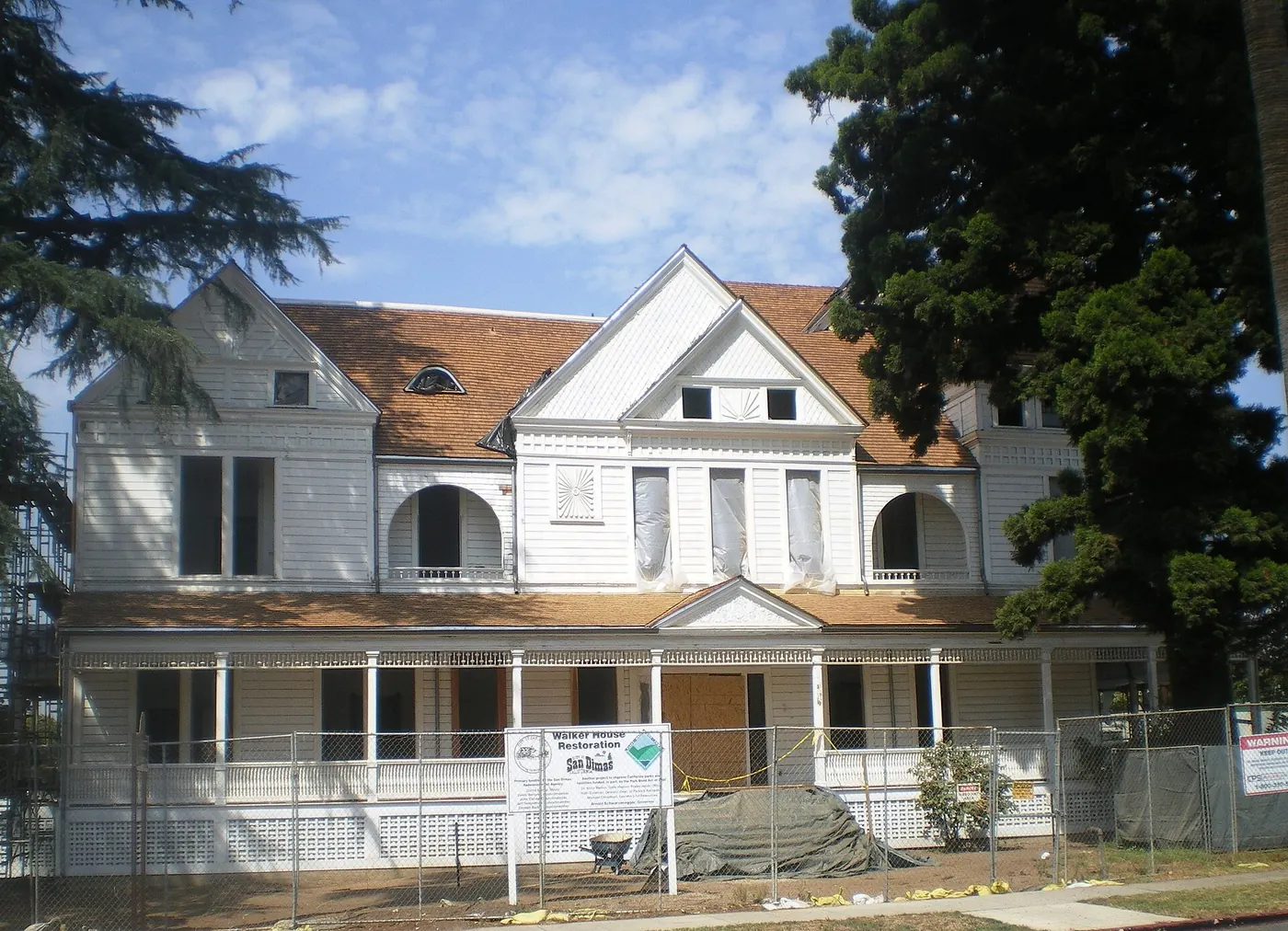
San Dimas is a foothill city of about 34,900 people (2020 census) in the San Gabriel Valley's eastern gateway, incorporated in 1960 (per Wikipedia, read September 24, 2026). Its anchors include Raging Waters Los Angeles (one of California's largest water parks), the Frank G. Bonelli Regional Park and Puddingstone Reservoir on its northern edge, the 28-acre Walker House historic estate (1924, Spanish Colonial Revival), and Via Verde Country Club. The I-10/SR-57 interchange gives it some of the best freeway access in the east valley.

Home prices in San Dimas
The median listing price in San Dimas is $922K.
Top places in San Dimas
- Raging Waters Los Angeles — water park with wave pools and slides.
- Frank G. Bonelli Regional Park — Puddingstone Reservoir boating and fishing.
- Walker House — 1924 historic estate and event venue.
- Via Verde Country Club golf course.
- San Dimas Canyon Park and the regional trail system.
- Downtown San Dimas — farmers market and historic depot area.
- San Dimas Canyon Nature Center.
Commuting from San Dimas
- Freeways: I-10 (San Bernardino) and SR-57 (Orange) meet at the city's southern edge (per Wikipedia, read September 24, 2026).
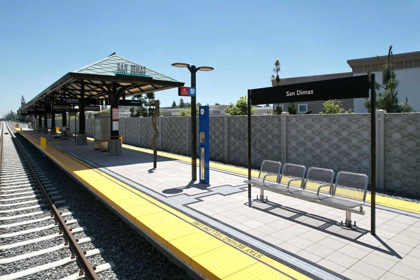
- Transit: Foothill Transit Silver Streak BRT to downtown LA; Metrolink San Bernardino Line (Covina and West Covina stations nearby); Metro A Line Foothill Extension now serves San Dimas station (opened September 19, 2025), with Glendora, La Verne/Fairplex, and Pomona North also new (per Foothill Gold Line Construction Authority, read September 24, 2026).
- Approximate drive to downtown Los Angeles: ~30–45 minutes depending on traffic (approximate; ~28 miles).
San Dimas FAQs
- What is the housing market like in San Dimas, CA?
The median listing price in San Dimas is $922K. - How is the commute from San Dimas, CA?
Freeways: I-10 (San Bernardino) and SR-57 (Orange) meet at the city's southern edge (per Wikipedia, read September 24, 2026).
Town links
Schools
Transit
Official town resources. School report cards via the National Center for Education Statistics.