Ogden–Clearfield metro, UT relocation guide
Moving to West Point, UT
About West Point
West Point is a Davis County city of 10,963 residents (2020 Census), one of Utah's fastest-growing communities — up 81.7% from 2000 and still growing over 5% per year. First settled in March 1867 and named for the U.S. Military Academy at West Point (earlier nicknamed "South Hooper" and "Muskrat Springs"), it sits along the eastern shoreline of the Great Salt Lake, with extensive wetlands strung along its western boundary that are essential to migrating birds.
Home prices in West Point
The median list in West Point is $619,731.
Top places in West Point
- West Point City Municipal Center — the city's civic center (shown above).
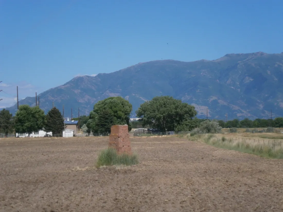
- Salt Lake North West Base Monument — the NRHP-listed historic survey monument (shown above).
- Great Salt Lake shoreline — birding and sunsets along the lake.
- West Point wetlands — essential to migrating birds.
- Loy F. Blake Park — the city's 26-acre regional park at 550 North 3500 West.
- Antelope Island State Park — across the lake.
- Hill Aerospace Museum — minutes away.
Commuting from West Point
- Approximate drive to downtown Ogden: ~20–25 minutes north via I-15 or local roads (approximate).
Schools in West Point
Public schools: Davis School District. For enrollment and performance data, see the state report card in Town links below. Confirm school assignment for any address directly with the district.
West Point FAQs
- What is the housing market like in West Point, UT?
The median list in West Point is $619,731. Median listing price · Sep 2026 - How is the commute from West Point, UT?
Approximate drive to downtown Ogden: ~20–25 minutes north via I-15 or local roads (approximate). - Which school district serves West Point, UT?
West Point is served by Davis School District. See the state report card in Town links, and confirm school assignment for a specific address with the district.
Town links
Schools
Official town resources. School report cards via the National Center for Education Statistics.