Albuquerque metro, NM relocation guide
Moving to Moriarty, NM
About Moriarty
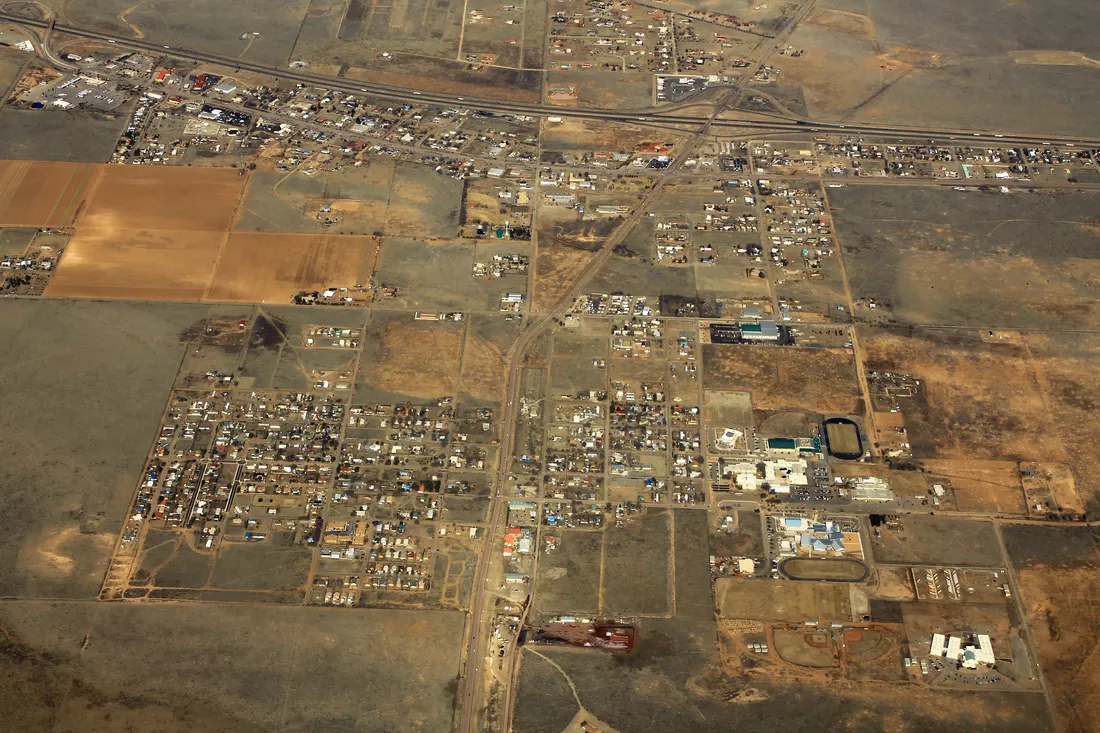
Moriarty is a small Route 66 city (population ~2,000) on the east side of the Sandia–Manzano mountain chain in Torrance County, where I-40 meets NM-41. It is nationally known among glider pilots: Moriarty Municipal Airport is one of America's premier soaring sites. The town serves as the commercial hub for the Estancia Valley's ranch country, with modest ranch homes and wide lots.
Home prices in Moriarty
The median list in Moriarty is $285,000.
Top places in Moriarty
- Moriarty Municipal Airport — world-class soaring/gliderport with frequent glider activity on good-weather days.
- Historic Route 66 corridor — motels, diners, and neon along Central Avenue through town.
- Moriarty Historical Society Museum — local ranching and Route 66 history.
- Crossley Park — town park with sports fields.
- Manzano Mountains foothills — hiking and hunting access to the east.
- Estancia Valley ranchlands — working ranches surrounding the town.
Commuting from Moriarty
- Approximate drive to downtown Albuquerque: ~40–45 minutes (approximate; via I-40 west over the Sandias/Tijeras Canyon).
- No Rail Runner service; the commute is entirely by car (I-40).
- Tijeras Canyon can add time in winter weather or peak hours.
Schools in Moriarty
Public schools: Moriarty-Edgewood School District. For enrollment and performance data, see the state report card in Town links below. Confirm school assignment for any address directly with the district.
Moriarty FAQs
- What is the housing market like in Moriarty, NM?
The median list in Moriarty is $285,000. Median listing price · Sep 2026 - How is the commute from Moriarty, NM?
Approximate drive to downtown Albuquerque: ~40–45 minutes (approximate; via I-40 west over the Sandias/Tijeras Canyon). - Which school district serves Moriarty, NM?
Moriarty is served by Moriarty-Edgewood School District. See the state report card in Town links, and confirm school assignment for a specific address with the district.
Town links
Schools
Transit
Official town resources. School report cards via the National Center for Education Statistics.