Denver metro, CO relocation guide
Moving to Foxfield, CO
About Foxfield
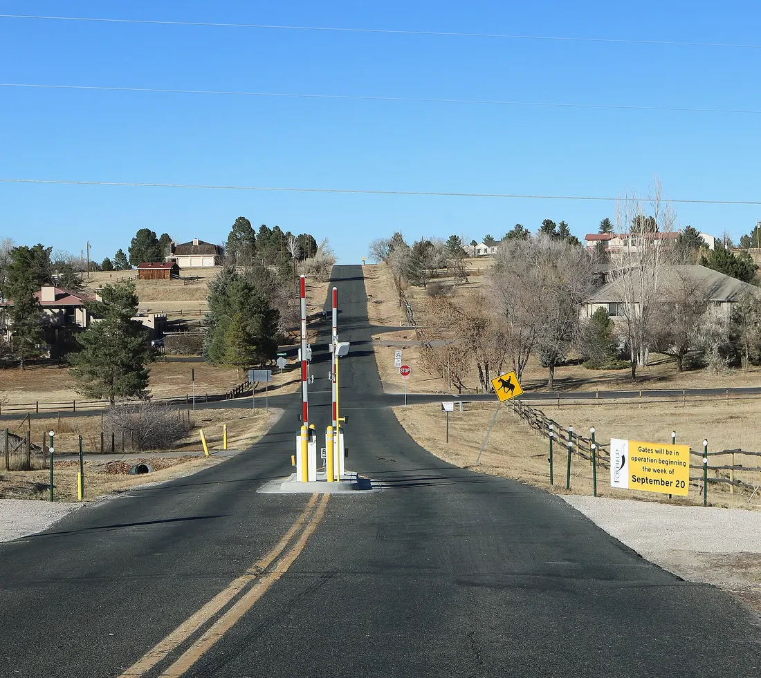
Foxfield (population 754 in 2020) is a tiny Arapahoe County town about 20 miles southeast of downtown Denver, near the E-470 corridor. Incorporated in 1994, it is a quiet, guard-gated-style community of large homes on spacious lots — the town installed entry gates in 2021 that close twice daily during rush hours to block cut-through traffic (shown in the Commons photo below). Cherry Creek schools serve the town.
Home prices in Foxfield
The median list in Foxfield is $1,500,000.
Top places in Foxfield
- The town's gated entries and estate streets (shown in the Commons photo below).
- Nearby South Suburban parks and trails.
- Cherry Creek State Park access (northwest).
- The town's open-space views toward the Front Range.
- The Broncos Parkway business corridor (adjacent).
- Nearby deKoevend Park and South Suburban trails.
Commuting from Foxfield
- Approximate drive to downtown Denver: ~25–35 minutes (approximate; via E-470/I-25; longer with traffic).
- Nearby E/F light rail via Lincoln station.
Schools in Foxfield
Public schools: Cherry Creek School District. For enrollment and performance data, see the state report card in Town links below. Confirm school assignment for any address directly with the district.
Foxfield FAQs
- What is the housing market like in Foxfield, CO?
The median list in Foxfield is $1,500,000. Median listing price · Sep 2026 - How is the commute from Foxfield, CO?
Approximate drive to downtown Denver: ~25–35 minutes (approximate; via E-470/I-25; longer with traffic). - Which school district serves Foxfield, CO?
Foxfield is served by Cherry Creek School District. See the state report card in Town links, and confirm school assignment for a specific address with the district.
Town links
Schools
Transit
Official town resources. School report cards via the National Center for Education Statistics.