Denver metro, CO relocation guide
Moving to Sedalia, CO
About Sedalia
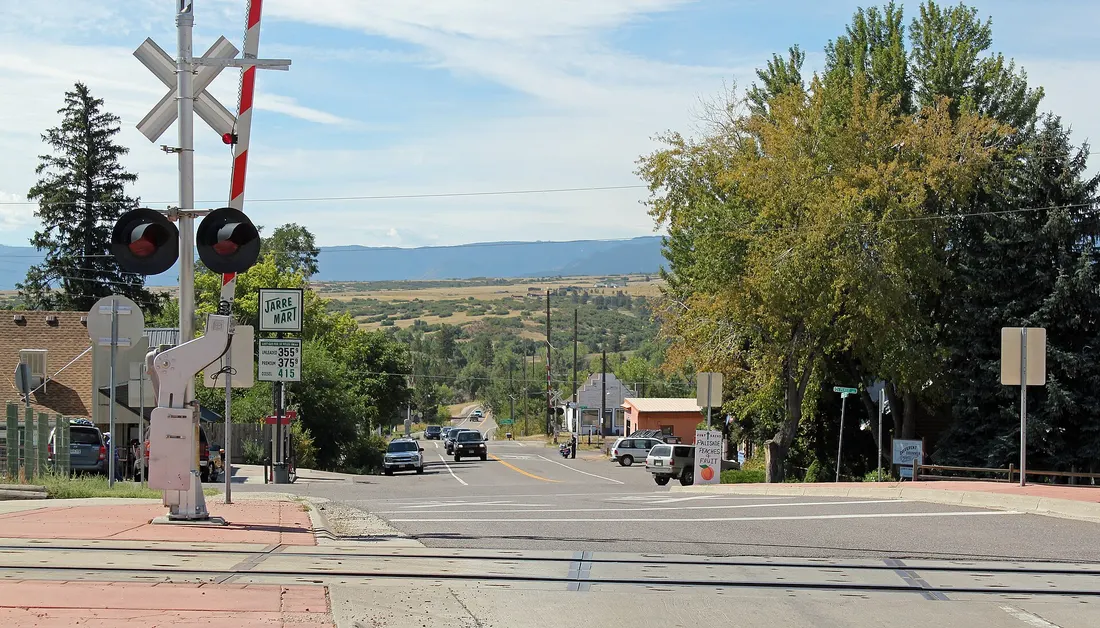
Sedalia (population ~200) is a Douglas County census-designated place about 28 miles south of downtown Denver on US-85. A historic railroad town — the Santa Fe Railway water tank (shown in the Commons photo below) is on the National Register — it is a quiet community of homes among the ranchland, with the Cherokee Ranch and Castle nearby. Douglas County schools serve the CDP.
Home prices in Sedalia
The median list in Sedalia is $1,660,000.
Top places in Sedalia
- The Santa Fe Railway water tank — National Register landmark (shown in the Commons photo below).
- Manhart Street/CO-67 through the CDP (shown in the Commons photo below).
- The Cherokee Ranch and Castle (nearby).
- Surrounding ranchland.
- The US-85 corridor.
Commuting from Sedalia
- Approximate drive to downtown Denver: ~35–50 minutes (approximate; via US-85; longer with traffic).
- No transit.
Schools in Sedalia
Public schools: Douglas County School District RE-1. For enrollment and performance data, see the state report card in Town links below. Confirm school assignment for any address directly with the district.
Sedalia FAQs
- What is the housing market like in Sedalia, CO?
The median list in Sedalia is $1,660,000. Median listing price · Sep 2026 - How is the commute from Sedalia, CO?
Approximate drive to downtown Denver: ~35–50 minutes (approximate; via US-85; longer with traffic). - Which school district serves Sedalia, CO?
Sedalia is served by Douglas County School District RE-1. See the state report card in Town links, and confirm school assignment for a specific address with the district.
Town links
Schools
Transit
Official town resources. School report cards via the National Center for Education Statistics.