Jackson metro, MS relocation guide
Moving to Pelahatchie, MS
About Pelahatchie
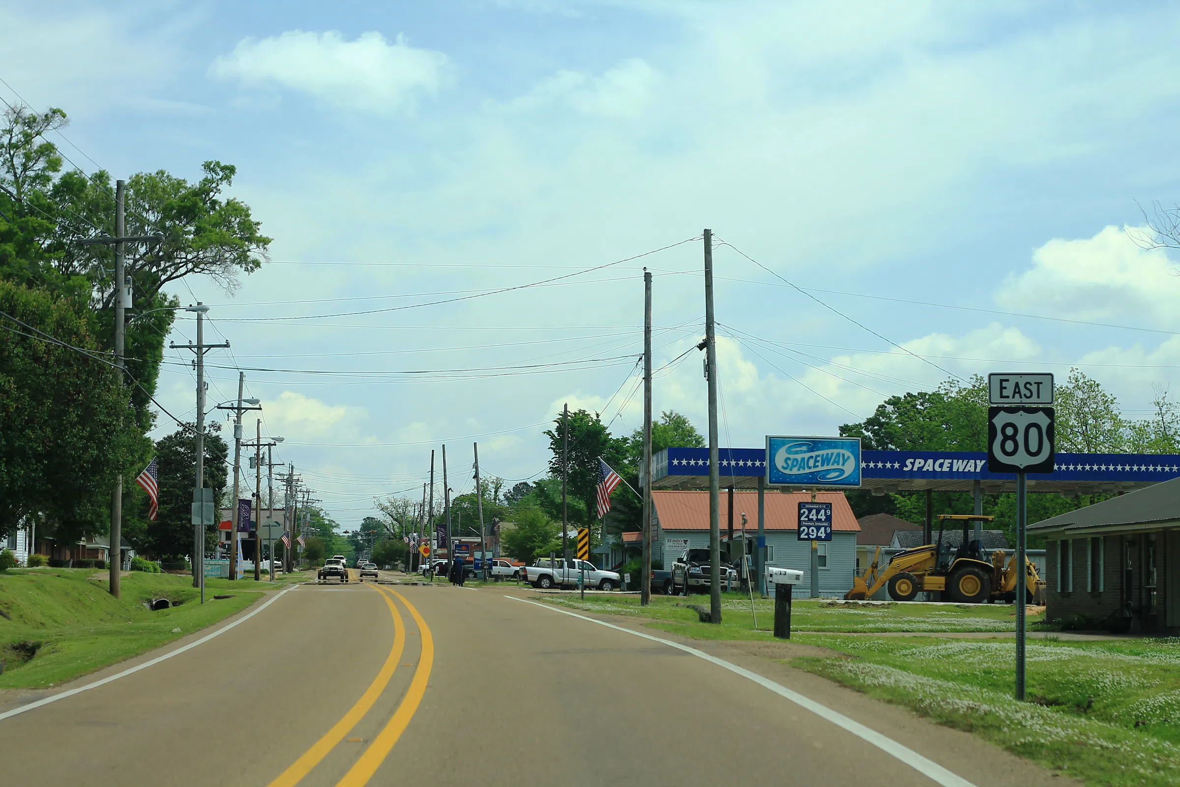
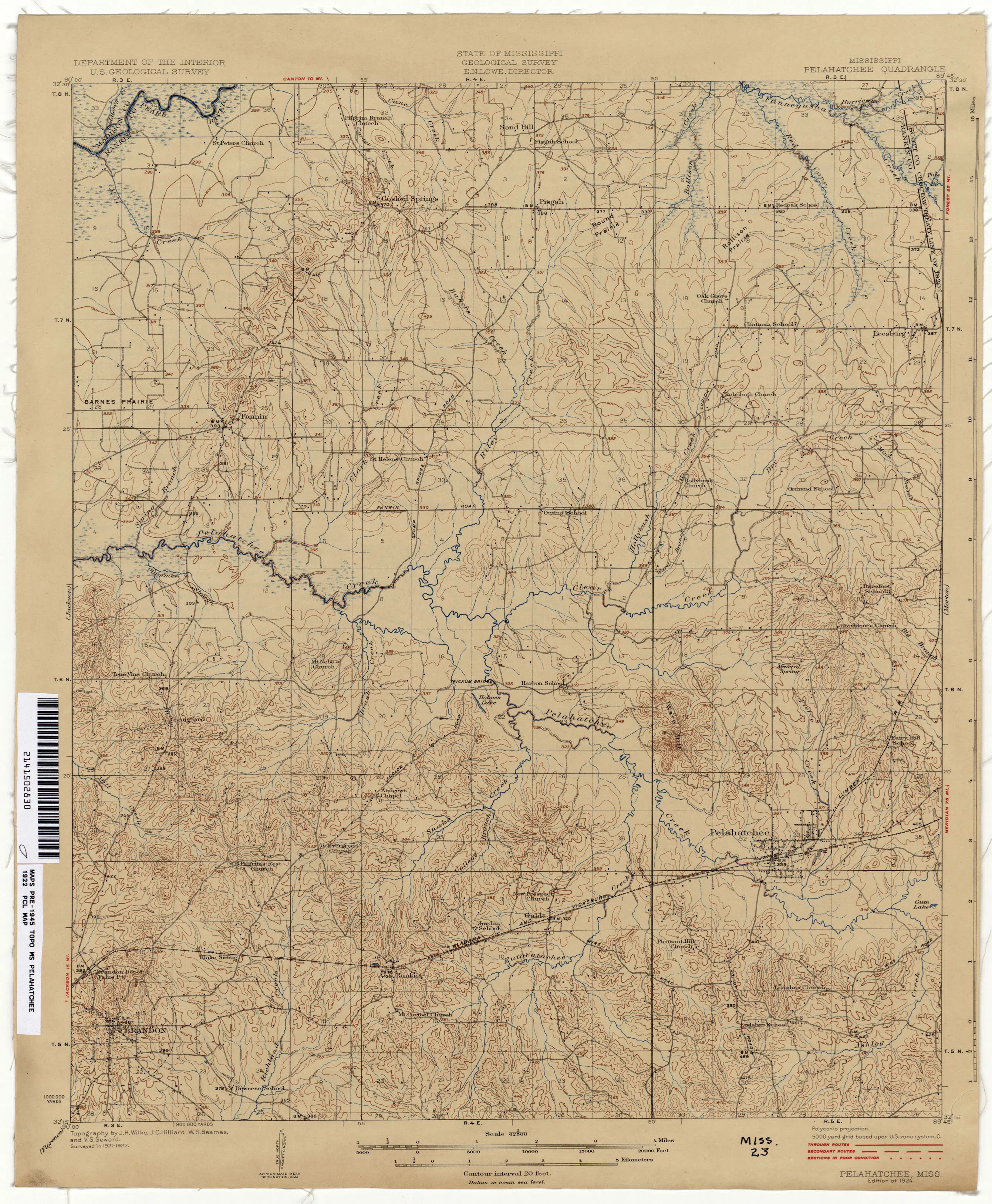
Pelahatchie is a small town in eastern Rankin County, 27 miles east of Jackson on US-80, with about 1,300 residents (2020 Census: 1,272). Founded in 1850 and named for Pelahatchie Creek — Choctaw for "crooked creek" — it became the county's bright spot in the late 1800s thanks to railroad access (the Alabama and Vicksburg Railroad arrived in 1858; the town was laid out in 1860 and narrowly escaped destruction by Sherman's forces).
Home prices in Pelahatchie
The median listing price in Pelahatchie is $295,450.
Top places in Pelahatchie
- Historic downtown railroad streetscape.
- Bienville National Forest access (hunting, camping, trails).
- Nearby Roosevelt State Park (short drive east).
- Pelahatchie Creek and local fishing holes.
Commuting from Pelahatchie
- Approximate drive to downtown Jackson: ~30–35 minutes west via US-80/I-20 (about 27 miles).
Schools in Pelahatchie
Public schools: Rankin County School District. For enrollment and performance data, see the state report card in Town links below. Confirm school assignment for any address directly with the district.
Pelahatchie FAQs
- What is the housing market like in Pelahatchie, MS?
The median listing price in Pelahatchie is $295,450. Median listing price · Realtor.com · September 24, 2026 - How is the commute from Pelahatchie, MS?
Approximate drive to downtown Jackson: ~30–35 minutes west via US-80/I-20 (about 27 miles). - Which school district serves Pelahatchie, MS?
Pelahatchie is served by Rankin County School District. See the state report card in Town links, and confirm school assignment for a specific address with the district.
Town links
Schools
Official town resources. School report cards via the National Center for Education Statistics.