Fayetteville metro, AR relocation guide
Moving to St. Paul, AR
—Median listing price
MadisonArea
Commuter-friendlyCommute profile
About St. Paul
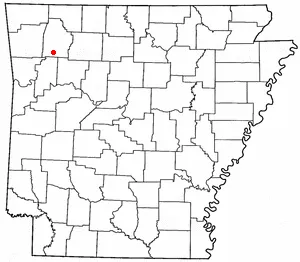
St. Paul is a tiny town (111 residents at the 2020 census; estimated 126 in 2025) in southern Madison County, on the edge of the Northwest Arkansas region. Platted in 1887 when the railroad arrived, it sits along the upper reaches of the White River with the Ozark-St. Francis National Forest bordering its south side — a gateway to the Boston Mountains wilderness (per Wikipedia, read September 24, 2026).
Home prices in St. Paul
Home prices in St. Paul vary by neighborhood and property type.
Top places in St. Paul
- Ozark-St. Francis National Forest
- Upper White River reaches
- St. Paul High School (still operating as the local high school)
- 5th Street / Madison Avenue historic storefronts
Commuting from St. Paul
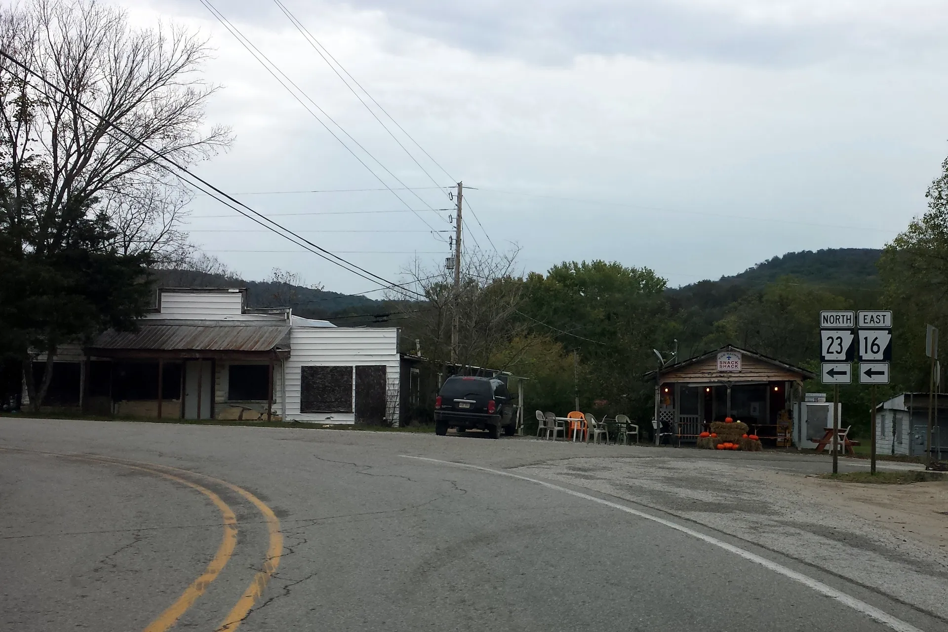
- Arkansas Highways 16 and 23 run through town together as 5th Street and Madison Avenue; Highway 23 leads north 22 miles (35 km) to Huntsville (the county seat) and south 30 miles (48 km) to Ozark, while Highway 16 leads northwest 32 miles (51 km) to Fayetteville (per Wikipedia, read September 24, 2026).
- Approximate drives: Huntsville ~30 min; Fayetteville ~40–45 min (mountain roads) (all approximate).
St. Paul FAQs
- What is the housing market like in St. Paul, AR?
Home prices in St. Paul vary by neighborhood and property type. - How is the commute from St. Paul, AR?
Arkansas Highways 16 and 23 run through town together as 5th Street and Madison Avenue; Highway 23 leads north 22 miles (35 km) to Huntsville (the county seat) and south 30 miles (48 km) to Ozark, while Highway 16 leads northwest 32 miles (51 km) to Fayetteville (per Wikipedia, read September 24, 2026).
Town links
Schools
Official town resources. School report cards via the National Center for Education Statistics.